Clayfield Copse
Introduction
The photograph on this page of Clayfield Copse by Rosalind Mitchell as part of the Geograph project.
The Geograph project started in 2005 with the aim of publishing, organising and preserving representative images for every square kilometre of Great Britain, Ireland and the Isle of Man.

There are currently over 7.5m images from over 14,400 individuals and you can help contribute to the project by visiting https://www.geograph.org.uk
Clayfield Copse
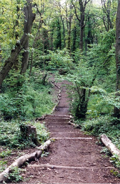
Image: © Rosalind Mitchell Taken: 10 May 2005
A piece of woodland enclosed within the Reading borough boundary and maintained by the local authority for recreation. Reading has many pockets of woodland even well within the urban area.
Images are licensed for reuse under creativecommons.org/licenses/by-sa/2.0
Image Location


Leaflet Map data © OpenStreetMap
Latitude
51.491807
Longitude
-0.95712