Thornhill Road, Rastrick
Introduction
The photograph on this page of Thornhill Road, Rastrick by Humphrey Bolton as part of the Geograph project.
The Geograph project started in 2005 with the aim of publishing, organising and preserving representative images for every square kilometre of Great Britain, Ireland and the Isle of Man.

There are currently over 7.5m images from over 14,400 individuals and you can help contribute to the project by visiting https://www.geograph.org.uk
Thornhill Road, Rastrick
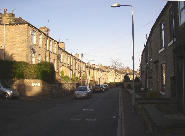
Image: © Humphrey Bolton Taken: 17 Dec 2005
This road was made as a private estate road in order to avoid tolls on the turnpike road (Rastrick Common). The latter was adopted by the township in 1862, and Thornhill Road was adopted soon after and houses built on each side.
Images are licensed for reuse under creativecommons.org/licenses/by-sa/2.0
Image Location


Leaflet Map data © OpenStreetMap
Latitude
53.696051
Longitude
-1.786417