Stream and Pond
Introduction
The photograph on this page of Stream and Pond by Graham Richards as part of the Geograph project.
The Geograph project started in 2005 with the aim of publishing, organising and preserving representative images for every square kilometre of Great Britain, Ireland and the Isle of Man.

There are currently over 7.5m images from over 14,400 individuals and you can help contribute to the project by visiting https://www.geograph.org.uk
Stream and Pond
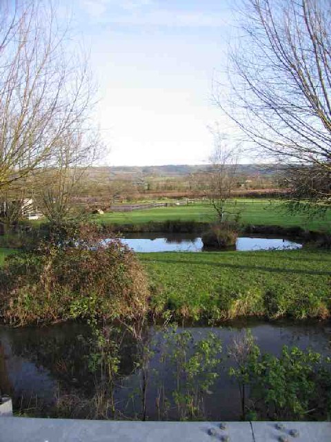
Image: © Graham Richards Taken: 17 Dec 2005
Near foreground shows the stream that follows the road from Burcott Mill Image to Bleadney Image where it drops down on to the levels and joins the river Axe. Beyond that is a duck pond. In the distance are the Mendip Hills where Ebbor Gorge Image can be seen.
Images are licensed for reuse under creativecommons.org/licenses/by-sa/2.0
Image Location
Latitude
51.20478
Longitude
-2.705628