Tokenhouse Yard
Introduction
The photograph on this page of Tokenhouse Yard by Basher Eyre as part of the Geograph project.
The Geograph project started in 2005 with the aim of publishing, organising and preserving representative images for every square kilometre of Great Britain, Ireland and the Isle of Man.

There are currently over 7.5m images from over 14,400 individuals and you can help contribute to the project by visiting https://www.geograph.org.uk
Tokenhouse Yard
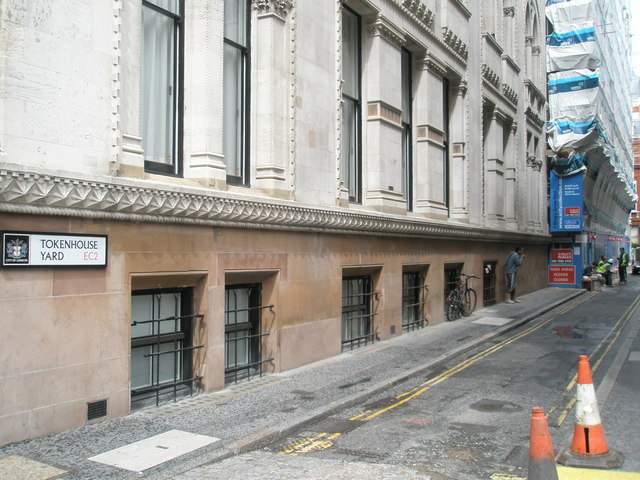
Image: © Basher Eyre Taken: 13 Aug 2008
Just off Lothbury, Tokenhouse Yard was developed by Sir William Petty and took its name from the 'farthing pocketpieces' used by tradesmen at that time. Long, D. (2021). London’s Secret Square Mile. 2nd ed. Cheltenham: The History Press.
Images are licensed for reuse under creativecommons.org/licenses/by-sa/2.0
Image Location


Leaflet Map data © OpenStreetMap
Latitude
51.515009
Longitude
-0.086682