Bessell Lane Allotments, Stapleford
Introduction
The photograph on this page of Bessell Lane Allotments, Stapleford by Oxymoron as part of the Geograph project.
The Geograph project started in 2005 with the aim of publishing, organising and preserving representative images for every square kilometre of Great Britain, Ireland and the Isle of Man.

There are currently over 7.5m images from over 14,400 individuals and you can help contribute to the project by visiting https://www.geograph.org.uk
Bessell Lane Allotments, Stapleford
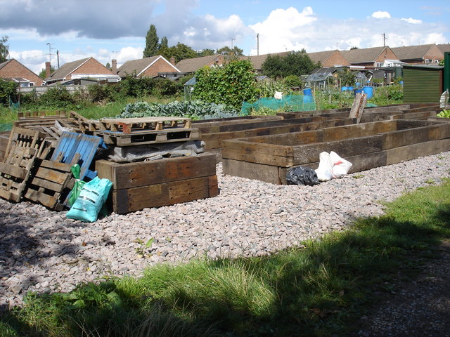
Image: © Oxymoron Taken: 14 Aug 2008
These allotments are sandwiched between housing in Stapleford and industry further down Bessell Lane.
Images are licensed for reuse under creativecommons.org/licenses/by-sa/2.0
Image Location
Latitude
52.921305
Longitude
-1.280232