Broadstone Place, Marylebone
Introduction
The photograph on this page of Broadstone Place, Marylebone by Stephen McKay as part of the Geograph project.
The Geograph project started in 2005 with the aim of publishing, organising and preserving representative images for every square kilometre of Great Britain, Ireland and the Isle of Man.

There are currently over 7.5m images from over 14,400 individuals and you can help contribute to the project by visiting https://www.geograph.org.uk
Broadstone Place, Marylebone
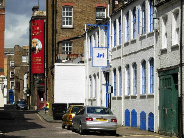
Image: © Stephen McKay Taken: 12 Aug 2008
Typical mews found in this part of London; Broadstone Place runs between Blandford Street and Dorset Street, parallel with, and to the east of, Baker Street.
Images are licensed for reuse under creativecommons.org/licenses/by-sa/2.0
Image Location
Latitude
51.519432
Longitude
-0.155108