Mitre Road, Waterloo
Introduction
The photograph on this page of Mitre Road, Waterloo by Stephen Craven as part of the Geograph project.
The Geograph project started in 2005 with the aim of publishing, organising and preserving representative images for every square kilometre of Great Britain, Ireland and the Isle of Man.

There are currently over 7.5m images from over 14,400 individuals and you can help contribute to the project by visiting https://www.geograph.org.uk
Mitre Road, Waterloo
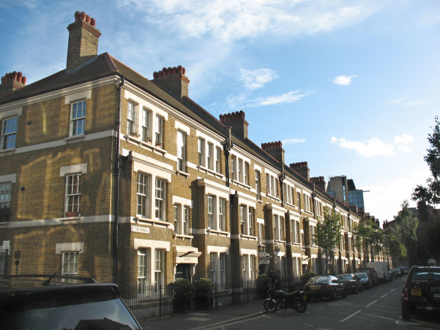
Image: © Stephen Craven Taken: 12 Aug 2008
Three-storey housing, somewhat grander in appearance than that on most of the surrounding streets but part of the same Octavia Hill development as Image and in a Conservation Area.
Images are licensed for reuse under creativecommons.org/licenses/by-sa/2.0
Image Location
Latitude
51.502391
Longitude
-0.107095