River Allen, Wimborne St Giles
Introduction
The photograph on this page of River Allen, Wimborne St Giles by Maigheach-gheal as part of the Geograph project.
The Geograph project started in 2005 with the aim of publishing, organising and preserving representative images for every square kilometre of Great Britain, Ireland and the Isle of Man.

There are currently over 7.5m images from over 14,400 individuals and you can help contribute to the project by visiting https://www.geograph.org.uk
River Allen, Wimborne St Giles
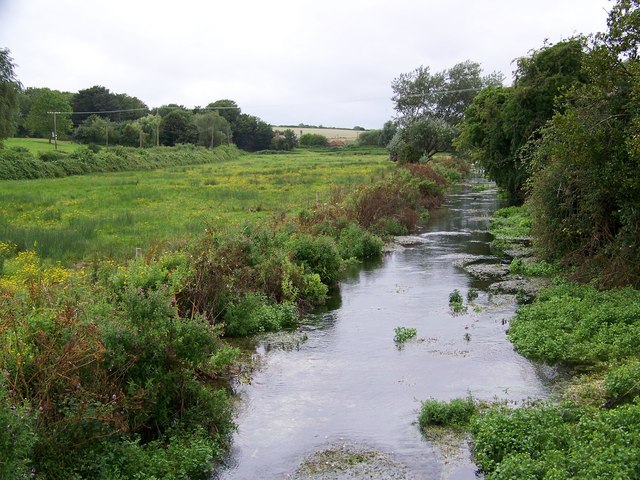
Image: © Maigheach-gheal Taken: 13 Aug 2008
The first record of the river being called the Allen was in 1577 until then it was called the Wimborne.
Images are licensed for reuse under creativecommons.org/licenses/by-sa/2.0
Image Location


Leaflet Map data © OpenStreetMap
Latitude
50.911421
Longitude
-1.962256