Newtonmore main street
Introduction
The photograph on this page of Newtonmore main street by Gordon Hatton as part of the Geograph project.
The Geograph project started in 2005 with the aim of publishing, organising and preserving representative images for every square kilometre of Great Britain, Ireland and the Isle of Man.

There are currently over 7.5m images from over 14,400 individuals and you can help contribute to the project by visiting https://www.geograph.org.uk
Newtonmore main street
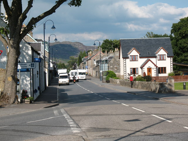
Image: © Gordon Hatton Taken: 25 Jul 2008
The southern end of the main street through the village, seen from the junction of the A86 and B9150 [old A9].
Images are licensed for reuse under creativecommons.org/licenses/by-sa/2.0
Image Location
Latitude
57.063661
Longitude
-4.122995