Wallsend 'Park'
Introduction
The photograph on this page of Wallsend 'Park' by Alan Fearon as part of the Geograph project.
The Geograph project started in 2005 with the aim of publishing, organising and preserving representative images for every square kilometre of Great Britain, Ireland and the Isle of Man.

There are currently over 7.5m images from over 14,400 individuals and you can help contribute to the project by visiting https://www.geograph.org.uk
Wallsend 'Park'
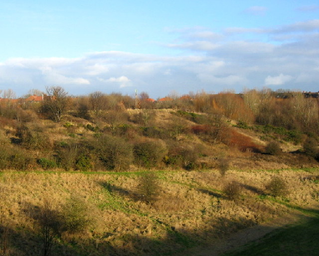
Image: © Alan Fearon Taken: 16 Dec 2005
This open land in front of Wallsend War memorial http://www.geograph.org.uk/photo/91994 runs steeply down to Willington Gut, part of Wallsend Burn. Perhaps the 'Friends of Wallsend Park' could include this area in their consideration as it would make a beautiful park if some money could be made available.
Images are licensed for reuse under creativecommons.org/licenses/by-sa/2.0
Image Location


Leaflet Map data © OpenStreetMap
Latitude
54.996614
Longitude
-1.51541