Farmland, Edworth, Beds
Introduction
The photograph on this page of Farmland, Edworth, Beds by Rodney Burton as part of the Geograph project.
The Geograph project started in 2005 with the aim of publishing, organising and preserving representative images for every square kilometre of Great Britain, Ireland and the Isle of Man.

There are currently over 7.5m images from over 14,400 individuals and you can help contribute to the project by visiting https://www.geograph.org.uk
Farmland, Edworth, Beds
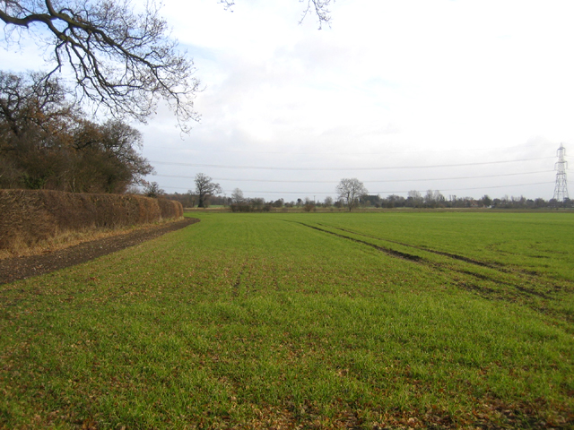
Image: © Rodney Burton Taken: 16 Dec 2005
winter wheat growing in the NE part of the square.
Images are licensed for reuse under creativecommons.org/licenses/by-sa/2.0
Image Location


Leaflet Map data © OpenStreetMap
Latitude
52.052667
Longitude
-0.210668