St Mark's, Howdon
Introduction
The photograph on this page of St Mark's, Howdon by Alan Fearon as part of the Geograph project.
The Geograph project started in 2005 with the aim of publishing, organising and preserving representative images for every square kilometre of Great Britain, Ireland and the Isle of Man.

There are currently over 7.5m images from over 14,400 individuals and you can help contribute to the project by visiting https://www.geograph.org.uk
St Mark's, Howdon
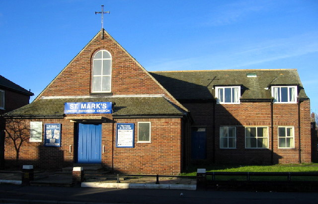
Image: © Alan Fearon Taken: 16 Dec 2005
A great expansion of housing since the war has resulted in a confusion of names here. In the '40s the then large area of open countryside (including a golf course) was called Willington and a small part of it to the south gave its name - Howden (with an 'e') - to the railway station. Now the larger area is called Howdon (with an 'o') with Willington only having a supporting role.
Images are licensed for reuse under creativecommons.org/licenses/by-sa/2.0
Image Location


Leaflet Map data © OpenStreetMap
Latitude
54.997436
Longitude
-1.496642