Royston Industry.
Introduction
The photograph on this page of Royston Industry. by Robin Hall as part of the Geograph project.
The Geograph project started in 2005 with the aim of publishing, organising and preserving representative images for every square kilometre of Great Britain, Ireland and the Isle of Man.

There are currently over 7.5m images from over 14,400 individuals and you can help contribute to the project by visiting https://www.geograph.org.uk
Royston Industry.
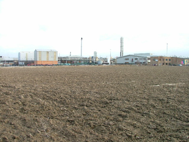
Image: © Robin Hall Taken: 16 Dec 2005
Industry on the outskirts of Royston. Taken on a very bright but grey afternoon. This photo was taken from the confluence of the county boundary and the Euro constituency boundary. If indeed there can be a confluence of these boundaries.
Images are licensed for reuse under creativecommons.org/licenses/by-sa/2.0
Image Location
Latitude
52.054645
Longitude
-0.038332