Prittlewell: Roots Hall Avenue
Introduction
The photograph on this page of Prittlewell: Roots Hall Avenue by Nigel Cox as part of the Geograph project.
The Geograph project started in 2005 with the aim of publishing, organising and preserving representative images for every square kilometre of Great Britain, Ireland and the Isle of Man.

There are currently over 7.5m images from over 14,400 individuals and you can help contribute to the project by visiting https://www.geograph.org.uk
Prittlewell: Roots Hall Avenue
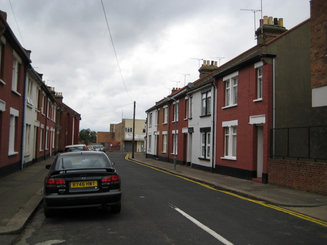
Image: © Nigel Cox Taken: 3 Aug 2008
Up until around 1900 Prittlewell was just a small village, quite separate from Southend. But between then and the start of the First World War, housing development infilled the gap and Prittlewell was swallowed up into the urban sprawl of Southend. Roots Hall Avenue, with its terraced houses without front gardens, at the back of what was subsequently to become the football ground of Southend United, would have been an early development in this period.
Images are licensed for reuse under creativecommons.org/licenses/by-sa/2.0
Image Location
Latitude
51.548476
Longitude
0.703145