Dykes Hall Garden and Trees, Wadsley / Wisewood
Introduction
The photograph on this page of Dykes Hall Garden and Trees, Wadsley / Wisewood by Terry Robinson as part of the Geograph project.
The Geograph project started in 2005 with the aim of publishing, organising and preserving representative images for every square kilometre of Great Britain, Ireland and the Isle of Man.

There are currently over 7.5m images from over 14,400 individuals and you can help contribute to the project by visiting https://www.geograph.org.uk
Dykes Hall Garden and Trees, Wadsley / Wisewood
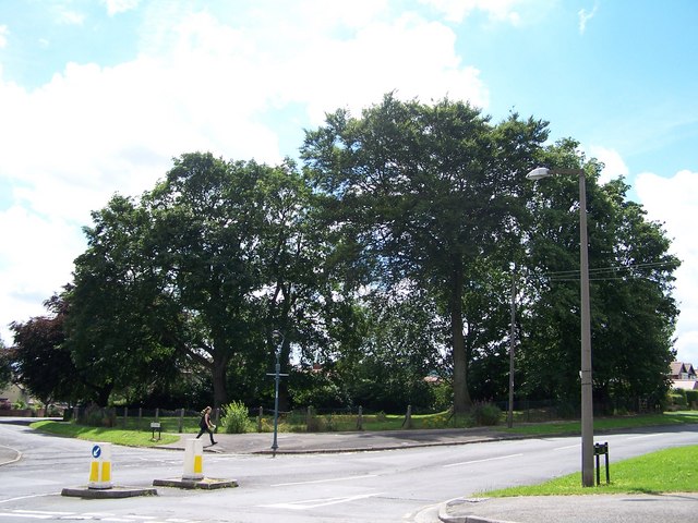
Image: © Terry Robinson Taken: 1 Aug 2008
The Garden and Trees at the junction of Dykes Lane and Leslie Road, opposite the Dial House Club, are all that remain of the gardens from Dykes Hall. The former Country House was demolished in 1927 to enable the building of the Wisewood Estate. The Hall was the former house of the Leslie Family (hence the road name) and R.S.Gowers of the Gower & Burgin chain of shops.
Images are licensed for reuse under creativecommons.org/licenses/by-sa/2.0
Image Location
Latitude
53.406989
Longitude
-1.51199