Footpath leading to Finnich Toll
Introduction
The photograph on this page of Footpath leading to Finnich Toll by Lairich Rig as part of the Geograph project.
The Geograph project started in 2005 with the aim of publishing, organising and preserving representative images for every square kilometre of Great Britain, Ireland and the Isle of Man.

There are currently over 7.5m images from over 14,400 individuals and you can help contribute to the project by visiting https://www.geograph.org.uk
Footpath leading to Finnich Toll
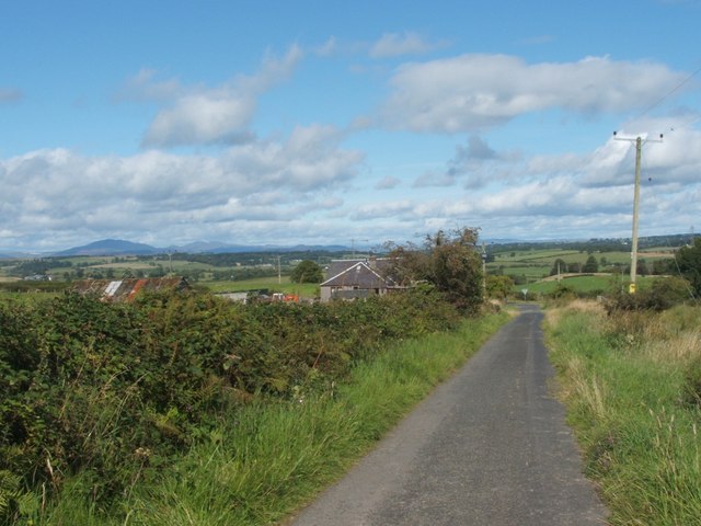
Image: © Lairich Rig Taken: 31 Aug 2007
This footpath leads down from Cameron Muir. To the left, behind the hedgerow, are buildings at Craighat, once the site of a school; compare Image, taken from further ahead.
Images are licensed for reuse under creativecommons.org/licenses/by-sa/2.0
Image Location
Latitude
56.03357
Longitude
-4.420186