Gumfreston Old Village
Introduction
The photograph on this page of Gumfreston Old Village by Angela Jones as part of the Geograph project.
The Geograph project started in 2005 with the aim of publishing, organising and preserving representative images for every square kilometre of Great Britain, Ireland and the Isle of Man.

There are currently over 7.5m images from over 14,400 individuals and you can help contribute to the project by visiting https://www.geograph.org.uk
Gumfreston Old Village
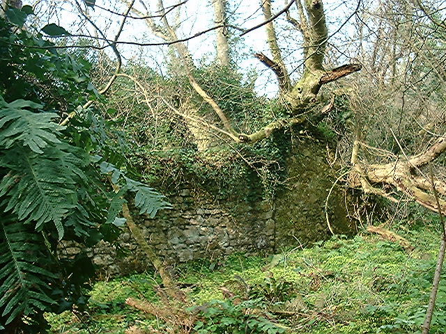
Image: © Angela Jones Taken: 30 Mar 2002
The site of Gumfreston village lies below the church and is now very overgrown and derelict
Images are licensed for reuse under creativecommons.org/licenses/by-sa/2.0
Image Location


Leaflet Map data © OpenStreetMap
Latitude
51.680208
Longitude
-4.742429