Houses on the switchback
Introduction
The photograph on this page of Houses on the switchback by Jonathan Billinger as part of the Geograph project.
The Geograph project started in 2005 with the aim of publishing, organising and preserving representative images for every square kilometre of Great Britain, Ireland and the Isle of Man.

There are currently over 7.5m images from over 14,400 individuals and you can help contribute to the project by visiting https://www.geograph.org.uk
Houses on the switchback
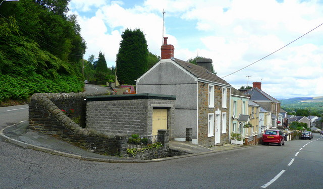
Image: © Jonathan Billinger Taken: 8 Aug 2008
Graig Road, left, goes uphill to Ystalyfera, Church Road, right, comes up from the main road which follows the Tawe valley floor.
Images are licensed for reuse under creativecommons.org/licenses/by-sa/2.0
Image Location


Leaflet Map data © OpenStreetMap
Latitude
51.754848
Longitude
-3.79816