Bardolph's Wood
Introduction
The photograph on this page of Bardolph's Wood by Rosalind Mitchell as part of the Geograph project.
The Geograph project started in 2005 with the aim of publishing, organising and preserving representative images for every square kilometre of Great Britain, Ireland and the Isle of Man.

There are currently over 7.5m images from over 14,400 individuals and you can help contribute to the project by visiting https://www.geograph.org.uk
Bardolph's Wood
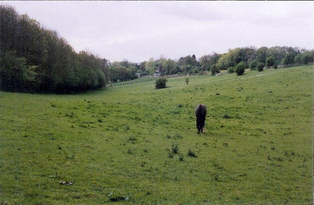
Image: © Rosalind Mitchell Taken: 10 May 2005
The chalk downs were once grazing land rather than arable, but now there are few food animals seen at pasture here. There are plenty of horses though. The wood itself is on the left.
Images are licensed for reuse under creativecommons.org/licenses/by-sa/2.0
Image Location


Leaflet Map data © OpenStreetMap
Latitude
51.501173
Longitude
-1.000127