
Salhouse railway station
Introduction
The photograph on this page of Salhouse railway station by Evelyn Simak as part of the Geograph project.
The Geograph project started in 2005 with the aim of publishing, organising and preserving representative images for every square kilometre of Great Britain, Ireland and the Isle of Man.

There are currently over 7.5m images from over 14,400 individuals and you can help contribute to the project by visiting https://www.geograph.org.uk
Salhouse railway station
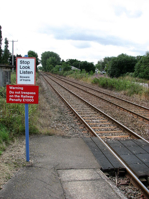
Image: © Evelyn Simak Taken: 10 Aug 2008
The view was taken from the railway platform and is in southerly direction. The railway arrived in the village of Salhouse in 1874, courtesy of the East Norfolk Railway/Great Eastern Railway Companies. Initially it was a single track line from Norwich to North Walsham which was extended to Cromer in 1877. The success of Cromer as a holiday resort, sections of the line were upgraded to double track during the period 1896 – 1901 and Salhouse became a busy railway station with a goods siding and a signal box. In 1968, however, the station became unmanned and the reduced services struggled on until it was re-branded as the Bittern Line in the mid 1990s, since when the passenger traffic has increased again under the Community Rail Partnership Programme.The railway station remains in operation on the Bittern line running from Norwich to Cromer and the road network and bus services now provide the main transportation links with the surrounding area.
Images are licensed for reuse under creativecommons.org/licenses/by-sa/2.0
Image Location

Latitude
52.675227
Longitude
1.390945