Path from Church Road to the Connahs Quay Road
Introduction
The photograph on this page of Path from Church Road to the Connahs Quay Road by Tim Stuart as part of the Geograph project.
The Geograph project started in 2005 with the aim of publishing, organising and preserving representative images for every square kilometre of Great Britain, Ireland and the Isle of Man.

There are currently over 7.5m images from over 14,400 individuals and you can help contribute to the project by visiting https://www.geograph.org.uk
Path from Church Road to the Connahs Quay Road
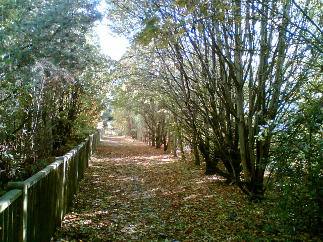
Image: © Tim Stuart Taken: 29 Oct 2007
This path preserves the right of way which would otherwise have been lost when the A55 Expressway cut off the end of Church Road. The A55 runs alongside the path.
Images are licensed for reuse under creativecommons.org/licenses/by-sa/2.0
Image Location


Leaflet Map data © OpenStreetMap
Latitude
53.2072
Longitude
-3.121694