The Bell
Introduction
The photograph on this page of The Bell by Evelyn Simak as part of the Geograph project.
The Geograph project started in 2005 with the aim of publishing, organising and preserving representative images for every square kilometre of Great Britain, Ireland and the Isle of Man.

There are currently over 7.5m images from over 14,400 individuals and you can help contribute to the project by visiting https://www.geograph.org.uk
The Bell
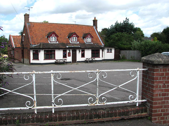
Image: © Evelyn Simak Taken: 10 Aug 2008
On Lower Road; the Bell public house dates from the 17th century. The second public house in Lower Street, The Kings Head, closed in the 1920s.
Images are licensed for reuse under creativecommons.org/licenses/by-sa/2.0
Image Location
Latitude
52.677791
Longitude
1.411268