Subway to Kimberley and Watnall
Introduction
The photograph on this page of Subway to Kimberley and Watnall by Oxymoron as part of the Geograph project.
The Geograph project started in 2005 with the aim of publishing, organising and preserving representative images for every square kilometre of Great Britain, Ireland and the Isle of Man.

There are currently over 7.5m images from over 14,400 individuals and you can help contribute to the project by visiting https://www.geograph.org.uk
Subway to Kimberley and Watnall
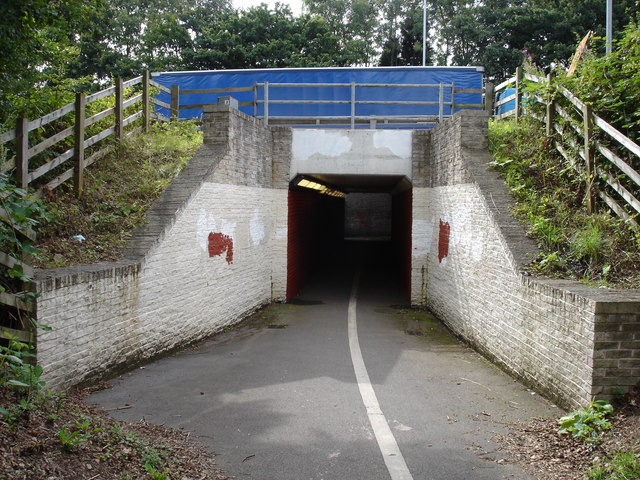
Image: © Oxymoron Taken: 11 Aug 2008
This subway allows safe access to Kimberley and Watnall for pedestrians and cyclists underneath the very busy roundabout where the A610, B600, and A6002 meet. This part of the subway goes underneath the A610 (southern edge of the roundabout), viewed from the centre of the roundabout.
Images are licensed for reuse under creativecommons.org/licenses/by-sa/2.0
Image Location
Latitude
52.989987
Longitude
-1.223524