St Martin's Bradley
Introduction
The photograph on this page of St Martin's Bradley by Gordon Griffiths as part of the Geograph project.
The Geograph project started in 2005 with the aim of publishing, organising and preserving representative images for every square kilometre of Great Britain, Ireland and the Isle of Man.

There are currently over 7.5m images from over 14,400 individuals and you can help contribute to the project by visiting https://www.geograph.org.uk
St Martin's Bradley
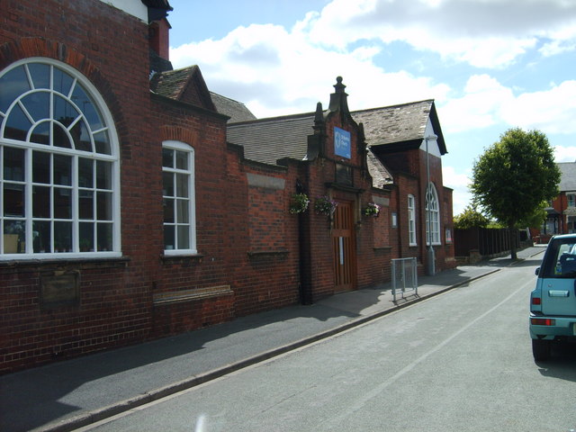
Image: © Gordon Griffiths Taken: 21 Jul 2008
The C of E Church in Slater Street now uses the old school buildings as the original church which was next to it is demolished.
Images are licensed for reuse under creativecommons.org/licenses/by-sa/2.0
Image Location
Latitude
52.556599
Longitude
-2.069133