Road to Ystradgynlais
Introduction
The photograph on this page of Road to Ystradgynlais by Jonathan Billinger as part of the Geograph project.
The Geograph project started in 2005 with the aim of publishing, organising and preserving representative images for every square kilometre of Great Britain, Ireland and the Isle of Man.

There are currently over 7.5m images from over 14,400 individuals and you can help contribute to the project by visiting https://www.geograph.org.uk
Road to Ystradgynlais
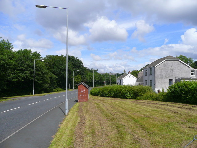
Image: © Jonathan Billinger Taken: 8 Aug 2008
Here the road is aligned along the track bed of the former Swansea Vale and Neath and Brecon Junction Railway south of the town.
Images are licensed for reuse under creativecommons.org/licenses/by-sa/2.0
Image Location
Latitude
51.769285
Longitude
-3.753225