High Roost, Mathry
Introduction
The photograph on this page of High Roost, Mathry by Natasha Ceridwen de Chroustchoff as part of the Geograph project.
The Geograph project started in 2005 with the aim of publishing, organising and preserving representative images for every square kilometre of Great Britain, Ireland and the Isle of Man.

There are currently over 7.5m images from over 14,400 individuals and you can help contribute to the project by visiting https://www.geograph.org.uk
High Roost, Mathry
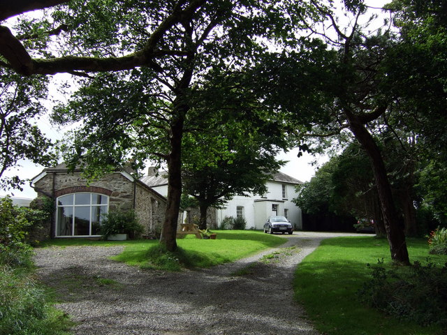
Image: © Natasha Ceridwen de Chroustchoff Taken: 10 Aug 2008
Old house whose name reflects the elevated position of this hilltop village. Original outbuildings have been nicely converted.
Images are licensed for reuse under creativecommons.org/licenses/by-sa/2.0
Image Location


Leaflet Map data © OpenStreetMap
Latitude
51.946374
Longitude
-5.088714