Picnic Site in Craignant
Introduction
The photograph on this page of Picnic Site in Craignant by Chris Heaton as part of the Geograph project.
The Geograph project started in 2005 with the aim of publishing, organising and preserving representative images for every square kilometre of Great Britain, Ireland and the Isle of Man.

There are currently over 7.5m images from over 14,400 individuals and you can help contribute to the project by visiting https://www.geograph.org.uk
Picnic Site in Craignant
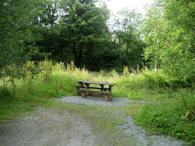
Image: © Chris Heaton Taken: 26 Jul 2008
Picnic Site in a disused quarry in Craignant, not far from the Offa's Dyke National Trail.
Images are licensed for reuse under creativecommons.org/licenses/by-sa/2.0
Image Location
Latitude
52.906325
Longitude
-3.111526