Footpath through the wheat
Introduction
The photograph on this page of Footpath through the wheat by Graham Horn as part of the Geograph project.
The Geograph project started in 2005 with the aim of publishing, organising and preserving representative images for every square kilometre of Great Britain, Ireland and the Isle of Man.

There are currently over 7.5m images from over 14,400 individuals and you can help contribute to the project by visiting https://www.geograph.org.uk
Footpath through the wheat
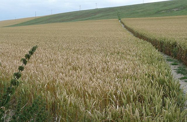
Image: © Graham Horn Taken: 25 Jul 2008
This wheat crop has been kept well clear from the footpath, which climbs obliquely away from the A338 through the village.
Images are licensed for reuse under creativecommons.org/licenses/by-sa/2.0
Image Location
Latitude
51.477667
Longitude
-1.440976