Farmland east of Penuwch, Ceredigion
Introduction
The photograph on this page of Farmland east of Penuwch, Ceredigion by Roger D Kidd as part of the Geograph project.
The Geograph project started in 2005 with the aim of publishing, organising and preserving representative images for every square kilometre of Great Britain, Ireland and the Isle of Man.

There are currently over 7.5m images from over 14,400 individuals and you can help contribute to the project by visiting https://www.geograph.org.uk
Farmland east of Penuwch, Ceredigion
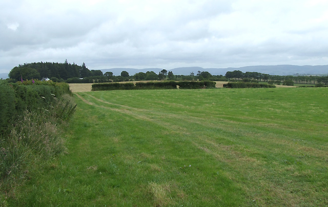
Image: © Roger D Kidd Taken: 16 Jul 2008
The B4577 is behind the hedge on the left. The Elenydd hills north-east of Tregaron dominate the skyline.
Images are licensed for reuse under creativecommons.org/licenses/by-sa/2.0
Image Location
Latitude
52.244655
Longitude
-4.029421