Ashford : Faversham Road
Introduction
The photograph on this page of Ashford : Faversham Road by Chris Morley as part of the Geograph project.
The Geograph project started in 2005 with the aim of publishing, organising and preserving representative images for every square kilometre of Great Britain, Ireland and the Isle of Man.

There are currently over 7.5m images from over 14,400 individuals and you can help contribute to the project by visiting https://www.geograph.org.uk
Ashford : Faversham Road
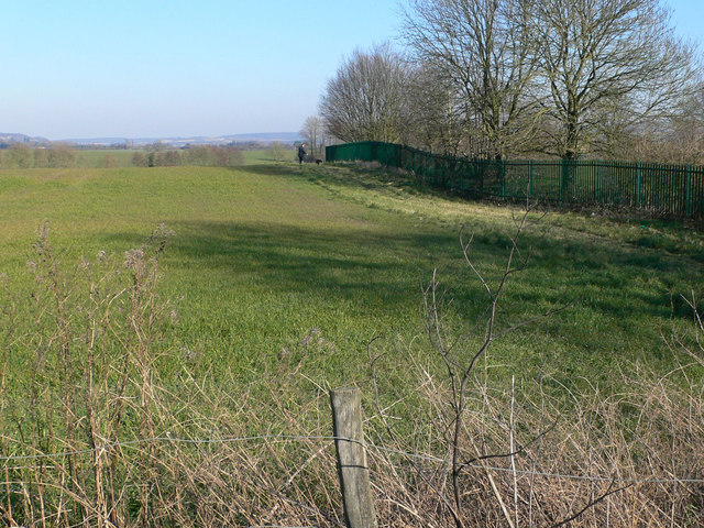
Image: © Chris Morley Taken: 16 Feb 2008
This view, looking eastwards from the junction of Faversham Road and Trinity Road, is the proposed route of a road to link the A251 and the A28. The fence on the right is the boundary of The Towers School
Images are licensed for reuse under creativecommons.org/licenses/by-sa/2.0
Image Location


Leaflet Map data © OpenStreetMap
Latitude
51.175703
Longitude
0.882882