South Lane, Elland
Introduction
The photograph on this page of South Lane, Elland by Humphrey Bolton as part of the Geograph project.
The Geograph project started in 2005 with the aim of publishing, organising and preserving representative images for every square kilometre of Great Britain, Ireland and the Isle of Man.

There are currently over 7.5m images from over 14,400 individuals and you can help contribute to the project by visiting https://www.geograph.org.uk
South Lane, Elland
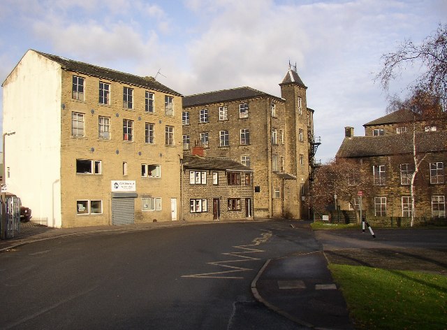
Image: © Humphrey Bolton Taken: 15 Dec 2005
This is the lower end of the road, just above the junction with Huddersfield Road at SE111217. A pair of 19C cottages, listed buildings, are sandwiched between industrial premises. For a clearer view of the cottages see http://www.imagesofengland.org.uk/images/33/85/L338529.jpg The fire station is out of the picture to the right.
Images are licensed for reuse under creativecommons.org/licenses/by-sa/2.0
Image Location


Leaflet Map data © OpenStreetMap
Latitude
53.680848
Longitude
-1.83494