Crag Laithe and Sheephouse Laithe, Giggleswick
Introduction
The photograph on this page of Crag Laithe and Sheephouse Laithe, Giggleswick by Humphrey Bolton as part of the Geograph project.
The Geograph project started in 2005 with the aim of publishing, organising and preserving representative images for every square kilometre of Great Britain, Ireland and the Isle of Man.

There are currently over 7.5m images from over 14,400 individuals and you can help contribute to the project by visiting https://www.geograph.org.uk
Crag Laithe and Sheephouse Laithe, Giggleswick
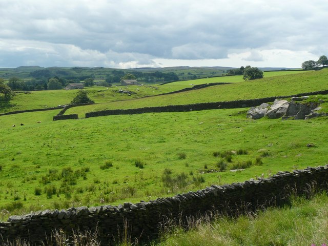
Image: © Humphrey Bolton Taken: 8 Aug 2008
These barns are big enough to be farmhouses. On the right is the same outcrop of millstone grit as in Image
Images are licensed for reuse under creativecommons.org/licenses/by-sa/2.0
Image Location


Leaflet Map data © OpenStreetMap
Latitude
54.067054
Longitude
-2.304032