Wyrley & Essington Canal - Demolished Railway Bridge
Introduction
The photograph on this page of Wyrley & Essington Canal - Demolished Railway Bridge by John M as part of the Geograph project.
The Geograph project started in 2005 with the aim of publishing, organising and preserving representative images for every square kilometre of Great Britain, Ireland and the Isle of Man.

There are currently over 7.5m images from over 14,400 individuals and you can help contribute to the project by visiting https://www.geograph.org.uk
Wyrley & Essington Canal - Demolished Railway Bridge
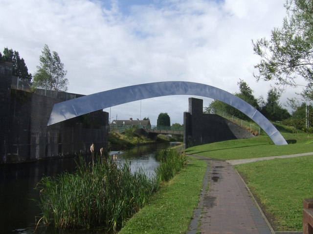
Image: © John M Taken: 10 Aug 2008
The line to Wednesfield and Willenhall was closed in the 1960s. The steel arch appeared when the Wednesfield Bypass was built in the late 1990s.
Images are licensed for reuse under creativecommons.org/licenses/by-sa/2.0
Image Location
Latitude
52.592715
Longitude
-2.101223