Ewe Lamb Lane
Introduction
The photograph on this page of Ewe Lamb Lane by Oxymoron as part of the Geograph project.
The Geograph project started in 2005 with the aim of publishing, organising and preserving representative images for every square kilometre of Great Britain, Ireland and the Isle of Man.

There are currently over 7.5m images from over 14,400 individuals and you can help contribute to the project by visiting https://www.geograph.org.uk
Ewe Lamb Lane
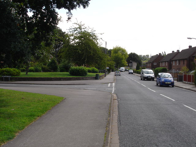
Image: © Oxymoron Taken: 10 Aug 2008
This is a lovely name for an undistinguished suburban road; with Ewe Lamb Close entering from the left.
Images are licensed for reuse under creativecommons.org/licenses/by-sa/2.0
Image Location
Latitude
52.938881
Longitude
-1.258662