The 'Curly Wyrley' approaching Wednesfield
Introduction
The photograph on this page of The 'Curly Wyrley' approaching Wednesfield by John M as part of the Geograph project.
The Geograph project started in 2005 with the aim of publishing, organising and preserving representative images for every square kilometre of Great Britain, Ireland and the Isle of Man.

There are currently over 7.5m images from over 14,400 individuals and you can help contribute to the project by visiting https://www.geograph.org.uk
The 'Curly Wyrley' approaching Wednesfield
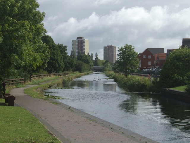
Image: © John M Taken: 10 Aug 2008
New housing at Bowman's Harbour on the right and the 1960s tower blocks in Wednesfield.
Images are licensed for reuse under creativecommons.org/licenses/by-sa/2.0
Image Location
Latitude
52.595056
Longitude
-2.0968