Beacon Hill 3
Introduction
The photograph on this page of Beacon Hill 3 by Andy Gryce as part of the Geograph project.
The Geograph project started in 2005 with the aim of publishing, organising and preserving representative images for every square kilometre of Great Britain, Ireland and the Isle of Man.

There are currently over 7.5m images from over 14,400 individuals and you can help contribute to the project by visiting https://www.geograph.org.uk
Beacon Hill 3
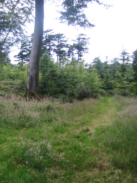
Image: © Andy Gryce Taken: 12 Jul 2007
This path runs east close to the top and on the south side of Beacon Hill. The hill is 237 m high and is in the south-west corner of Fonthill Abbey Wood, see Image
Images are licensed for reuse under creativecommons.org/licenses/by-sa/2.0
Image Location


Leaflet Map data © OpenStreetMap
Latitude
51.069711
Longitude
-2.127257