View east along Chapel Street towards the junction with Steeple Lane
Introduction
The photograph on this page of View east along Chapel Street towards the junction with Steeple Lane by Eric Jones as part of the Geograph project.
The Geograph project started in 2005 with the aim of publishing, organising and preserving representative images for every square kilometre of Great Britain, Ireland and the Isle of Man.

There are currently over 7.5m images from over 14,400 individuals and you can help contribute to the project by visiting https://www.geograph.org.uk
View east along Chapel Street towards the junction with Steeple Lane
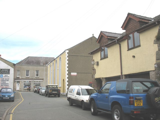
Image: © Eric Jones Taken: 8 Aug 2008
The chapel on the right is the former Capel Seion.
Images are licensed for reuse under creativecommons.org/licenses/by-sa/2.0
Image Location
Latitude
53.262739
Longitude
-4.095312