Dance Lane Farm
Introduction
The photograph on this page of Dance Lane Farm by Wendy North as part of the Geograph project.
The Geograph project started in 2005 with the aim of publishing, organising and preserving representative images for every square kilometre of Great Britain, Ireland and the Isle of Man.

There are currently over 7.5m images from over 14,400 individuals and you can help contribute to the project by visiting https://www.geograph.org.uk
Dance Lane Farm
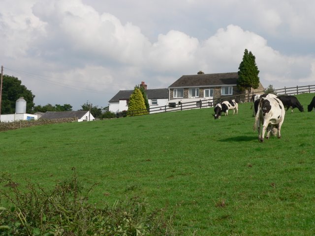
Image: © Wendy North Taken: 16 Jun 2007
Dance Lane Farm on the outskirts of Crane Moor. On the 1855 map the farm is called Dance Green (on Dance lane).
Images are licensed for reuse under creativecommons.org/licenses/by-sa/2.0
Image Location
Latitude
53.507491
Longitude
-1.537072