Mill conversion, Pontyclun
Introduction
The photograph on this page of Mill conversion, Pontyclun by Mick Lobb as part of the Geograph project.
The Geograph project started in 2005 with the aim of publishing, organising and preserving representative images for every square kilometre of Great Britain, Ireland and the Isle of Man.

There are currently over 7.5m images from over 14,400 individuals and you can help contribute to the project by visiting https://www.geograph.org.uk
Mill conversion, Pontyclun
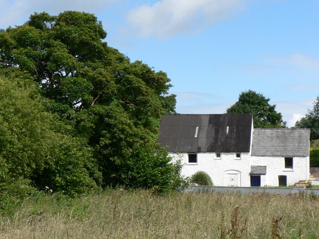
Image: © Mick Lobb Taken: 8 Jul 2008
Its location so close to the river would perhaps indicate past use as a mill.
Images are licensed for reuse under creativecommons.org/licenses/by-sa/2.0
Image Location


Leaflet Map data © OpenStreetMap
Latitude
51.520396
Longitude
-3.397283