Grazed woodland, Hassendeanburn
Introduction
The photograph on this page of Grazed woodland, Hassendeanburn by Richard Webb as part of the Geograph project.
The Geograph project started in 2005 with the aim of publishing, organising and preserving representative images for every square kilometre of Great Britain, Ireland and the Isle of Man.

There are currently over 7.5m images from over 14,400 individuals and you can help contribute to the project by visiting https://www.geograph.org.uk
Grazed woodland, Hassendeanburn
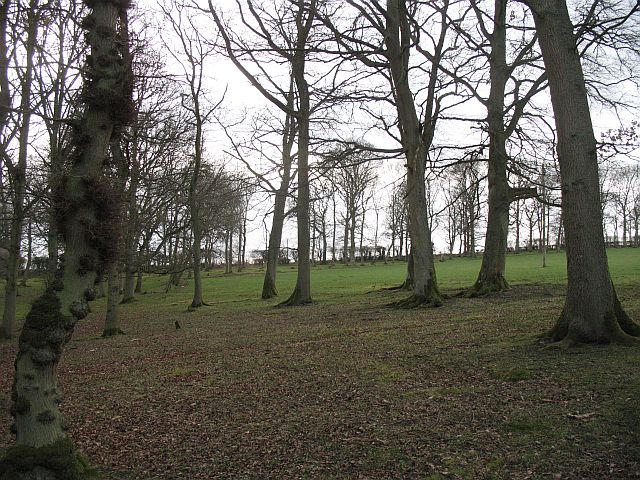
Image: © Richard Webb Taken: 14 Mar 2008
There is no undergrowth due to grazing. This is a wood that surrounds land which was once a park.
Images are licensed for reuse under creativecommons.org/licenses/by-sa/2.0
Image Location
Latitude
55.455485
Longitude
-2.727957