Monaltrie Park
Introduction
The photograph on this page of Monaltrie Park by Stanley Howe as part of the Geograph project.
The Geograph project started in 2005 with the aim of publishing, organising and preserving representative images for every square kilometre of Great Britain, Ireland and the Isle of Man.

There are currently over 7.5m images from over 14,400 individuals and you can help contribute to the project by visiting https://www.geograph.org.uk
Monaltrie Park
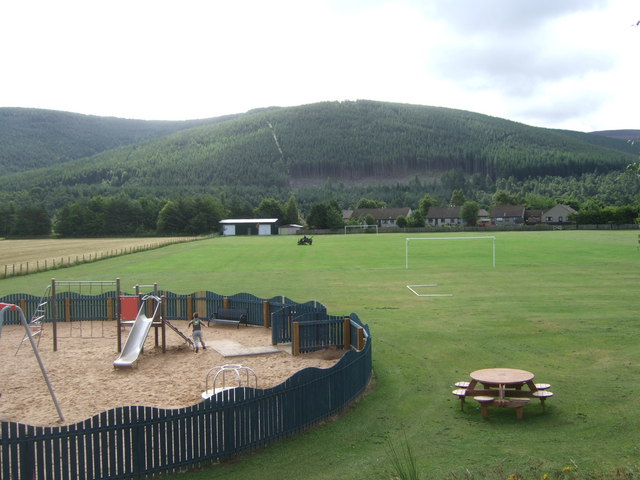
Image: © Stanley Howe Taken: 8 Aug 2008
Being mowed in preparation for Ballater's Highland Games. Viewed from by the children's playground; with the wooded Craig Coillich in the background, across the River Dee.
Images are licensed for reuse under creativecommons.org/licenses/by-sa/2.0
Image Location


Leaflet Map data © OpenStreetMap
Latitude
57.052494
Longitude
-3.034554