Sheep Barn Lane P.T.S.
Introduction
The photograph on this page of Sheep Barn Lane P.T.S. by Roger W Haworth as part of the Geograph project.
The Geograph project started in 2005 with the aim of publishing, organising and preserving representative images for every square kilometre of Great Britain, Ireland and the Isle of Man.

There are currently over 7.5m images from over 14,400 individuals and you can help contribute to the project by visiting https://www.geograph.org.uk
Sheep Barn Lane P.T.S.
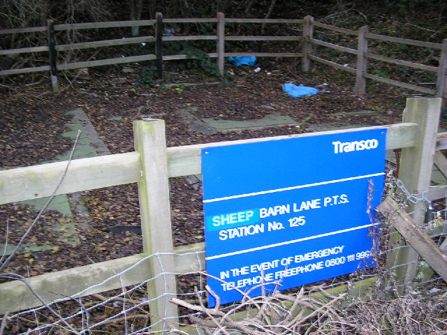
Image: © Roger W Haworth Taken: 13 Dec 2005
There ain't much to photograph in this square. But at least this totally uninteresting subject contains written evidence to confirm its location which is about 100 yards off Sheepbarn (should be one word) Lane on the dirt track leading to Higham's Hill. The word SHEEP is a stuck on label - I wonder what typo lies beneath it. I think PTS stands for Pipeline Testing Station - on a Transco gas pipeline.
Images are licensed for reuse under creativecommons.org/licenses/by-sa/2.0
Image Location


Leaflet Map data © OpenStreetMap
Latitude
51.331719
Longitude
0.011045