Pasture beside the M40 motorway
Introduction
The photograph on this page of Pasture beside the M40 motorway by David Hawgood as part of the Geograph project.
The Geograph project started in 2005 with the aim of publishing, organising and preserving representative images for every square kilometre of Great Britain, Ireland and the Isle of Man.

There are currently over 7.5m images from over 14,400 individuals and you can help contribute to the project by visiting https://www.geograph.org.uk
Pasture beside the M40 motorway
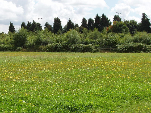
Image: © David Hawgood Taken: 7 Aug 2008
Viewing from South Drive in Beaconsfield, the only signs of the motorway are the street lamps appearing over the hedge and trees which provide a visual and acoustic screen.
Images are licensed for reuse under creativecommons.org/licenses/by-sa/2.0
Image Location


Leaflet Map data © OpenStreetMap
Latitude
51.598481
Longitude
-0.659133