Farmland near Oxenpark Farm.
Introduction
The photograph on this page of Farmland near Oxenpark Farm. by Grant Sherman as part of the Geograph project.
The Geograph project started in 2005 with the aim of publishing, organising and preserving representative images for every square kilometre of Great Britain, Ireland and the Isle of Man.

There are currently over 7.5m images from over 14,400 individuals and you can help contribute to the project by visiting https://www.geograph.org.uk
Farmland near Oxenpark Farm.
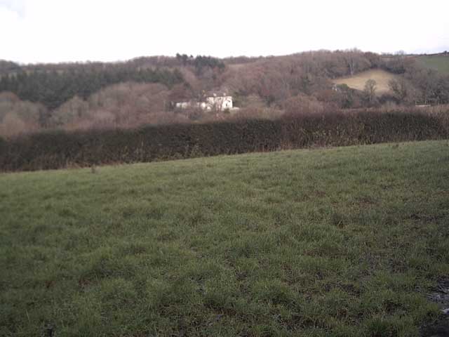
Image: © Grant Sherman Taken: 13 Dec 2005
Puddicombe House is visible in the trees on the other side of the valley.
Images are licensed for reuse under creativecommons.org/licenses/by-sa/2.0
Image Location


Leaflet Map data © OpenStreetMap
Latitude
50.709113
Longitude
-3.807129