Peel Brow Ramsbottom
Introduction
The photograph on this page of Peel Brow Ramsbottom by Paul Anderson as part of the Geograph project.
The Geograph project started in 2005 with the aim of publishing, organising and preserving representative images for every square kilometre of Great Britain, Ireland and the Isle of Man.

There are currently over 7.5m images from over 14,400 individuals and you can help contribute to the project by visiting https://www.geograph.org.uk
Peel Brow Ramsbottom
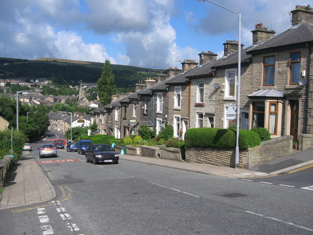
Image: © Paul Anderson Taken: 8 Aug 2008
Peel Brow is a steep hill that links Bury New Road in Ramsbottom at the bottom with Whalley Road in Shuttleworth at the top. Image
Images are licensed for reuse under creativecommons.org/licenses/by-sa/2.0
Image Location
Latitude
53.647483
Longitude
-2.31008