Lane at Longcombe
Introduction
The photograph on this page of Lane at Longcombe by Derek Harper as part of the Geograph project.
The Geograph project started in 2005 with the aim of publishing, organising and preserving representative images for every square kilometre of Great Britain, Ireland and the Isle of Man.

There are currently over 7.5m images from over 14,400 individuals and you can help contribute to the project by visiting https://www.geograph.org.uk
Lane at Longcombe
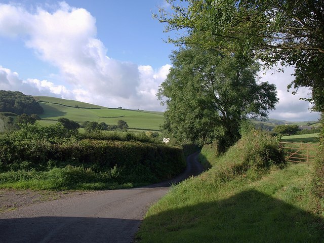
Image: © Derek Harper Taken: 7 Aug 2008
The lane shown in Image, just south of Higher Longcombe, and leaving the square on its way to Middle Longcombe. The wood on the left is Lomentor Copse, in SX8459.
Images are licensed for reuse under creativecommons.org/licenses/by-sa/2.0
Image Location


Leaflet Map data © OpenStreetMap
Latitude
50.429536
Longitude
-3.634259