Pillbox near Rattray Head
Introduction
The photograph on this page of Pillbox near Rattray Head by Claire Pegrum as part of the Geograph project.
The Geograph project started in 2005 with the aim of publishing, organising and preserving representative images for every square kilometre of Great Britain, Ireland and the Isle of Man.

There are currently over 7.5m images from over 14,400 individuals and you can help contribute to the project by visiting https://www.geograph.org.uk
Pillbox near Rattray Head
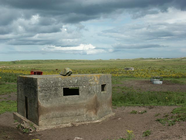
Image: © Claire Pegrum Taken: 2 Aug 2008
This pillbox is part of a line fourteen intervisible pill boxes erected during World War II to protect the beach south of Rattray Head from landings.
Images are licensed for reuse under creativecommons.org/licenses/by-sa/2.0
Image Location
Latitude
57.591308
Longitude
-1.837782