Luton: A505 Vauxhall Way
Introduction
The photograph on this page of Luton: A505 Vauxhall Way by Nigel Cox as part of the Geograph project.
The Geograph project started in 2005 with the aim of publishing, organising and preserving representative images for every square kilometre of Great Britain, Ireland and the Isle of Man.

There are currently over 7.5m images from over 14,400 individuals and you can help contribute to the project by visiting https://www.geograph.org.uk
Luton: A505 Vauxhall Way
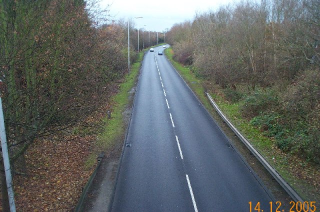
Image: © Nigel Cox Taken: 14 Dec 2005
Viewed looking north westwards from the footbridge between Turners Road South and Turners Road North.
Images are licensed for reuse under creativecommons.org/licenses/by-sa/2.0
Image Location
Latitude
51.892847
Longitude
-0.39854