Paisley South Cycle Route
Introduction
The photograph on this page of Paisley South Cycle Route by Lairich Rig as part of the Geograph project.
The Geograph project started in 2005 with the aim of publishing, organising and preserving representative images for every square kilometre of Great Britain, Ireland and the Isle of Man.

There are currently over 7.5m images from over 14,400 individuals and you can help contribute to the project by visiting https://www.geograph.org.uk
Paisley South Cycle Route
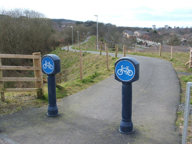
Image: © Lairich Rig Taken: 18 Mar 2008
When the photo was taken, this fairly short section of cycle path had only recently been completed. It is a little over 1 km in length, linking Image (from which the photo was taken) with Braehead Road; however, it is the first stage of a longer Paisley South Cycle Route. For a later view of the same access point, see Image, which includes further information. When that latter picture was taken, there was also a corresponding section of the cycle route leading away from the opposite side of Glenfield Road: Image
Images are licensed for reuse under creativecommons.org/licenses/by-sa/2.0
Image Location
Latitude
55.818589
Longitude
-4.424377