Houses At Turnberry
Introduction
The photograph on this page of Houses At Turnberry by Mary and Angus Hogg as part of the Geograph project.
The Geograph project started in 2005 with the aim of publishing, organising and preserving representative images for every square kilometre of Great Britain, Ireland and the Isle of Man.

There are currently over 7.5m images from over 14,400 individuals and you can help contribute to the project by visiting https://www.geograph.org.uk
Houses At Turnberry
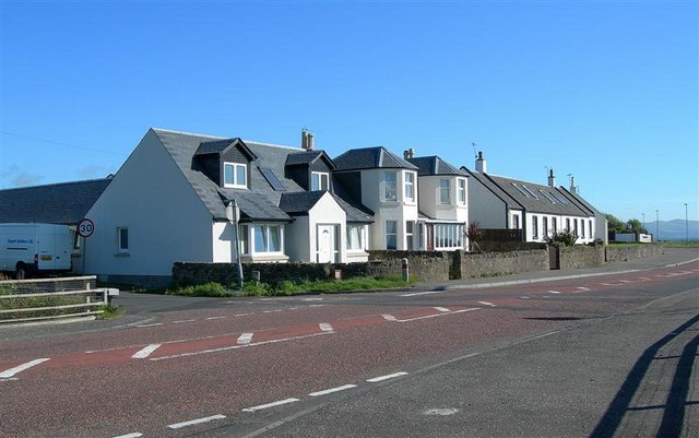
Image: © Mary and Angus Hogg Taken: 4 Aug 2008
These houses on the A77 at the southern end of Turnberry village enjoy spectacular views across the Firth of Clyde. The road on the left is the unclassified minor road leading into the southern end of the Carrick Hills.
Images are licensed for reuse under creativecommons.org/licenses/by-sa/2.0
Image Location
Latitude
55.308608
Longitude
-4.83299